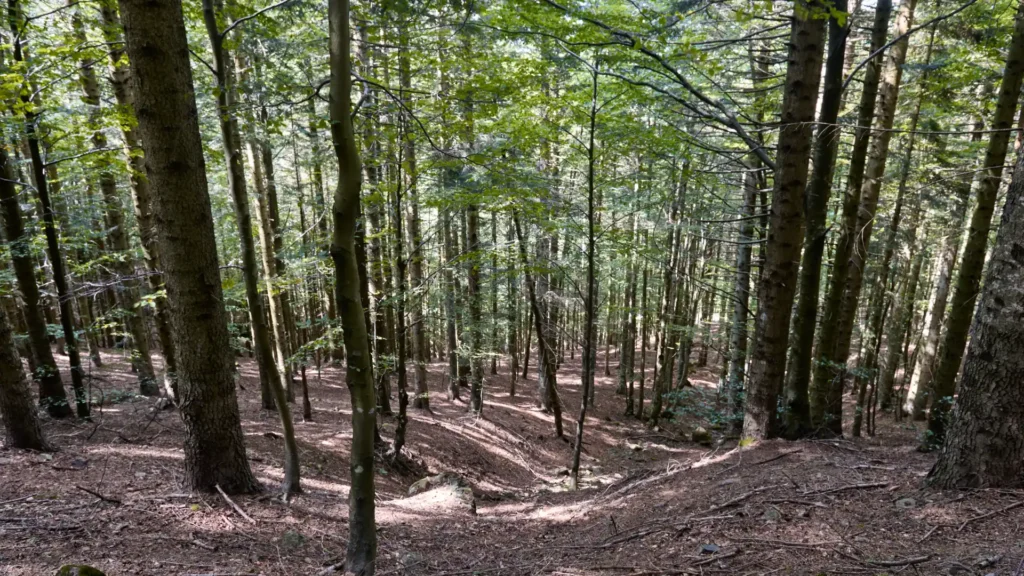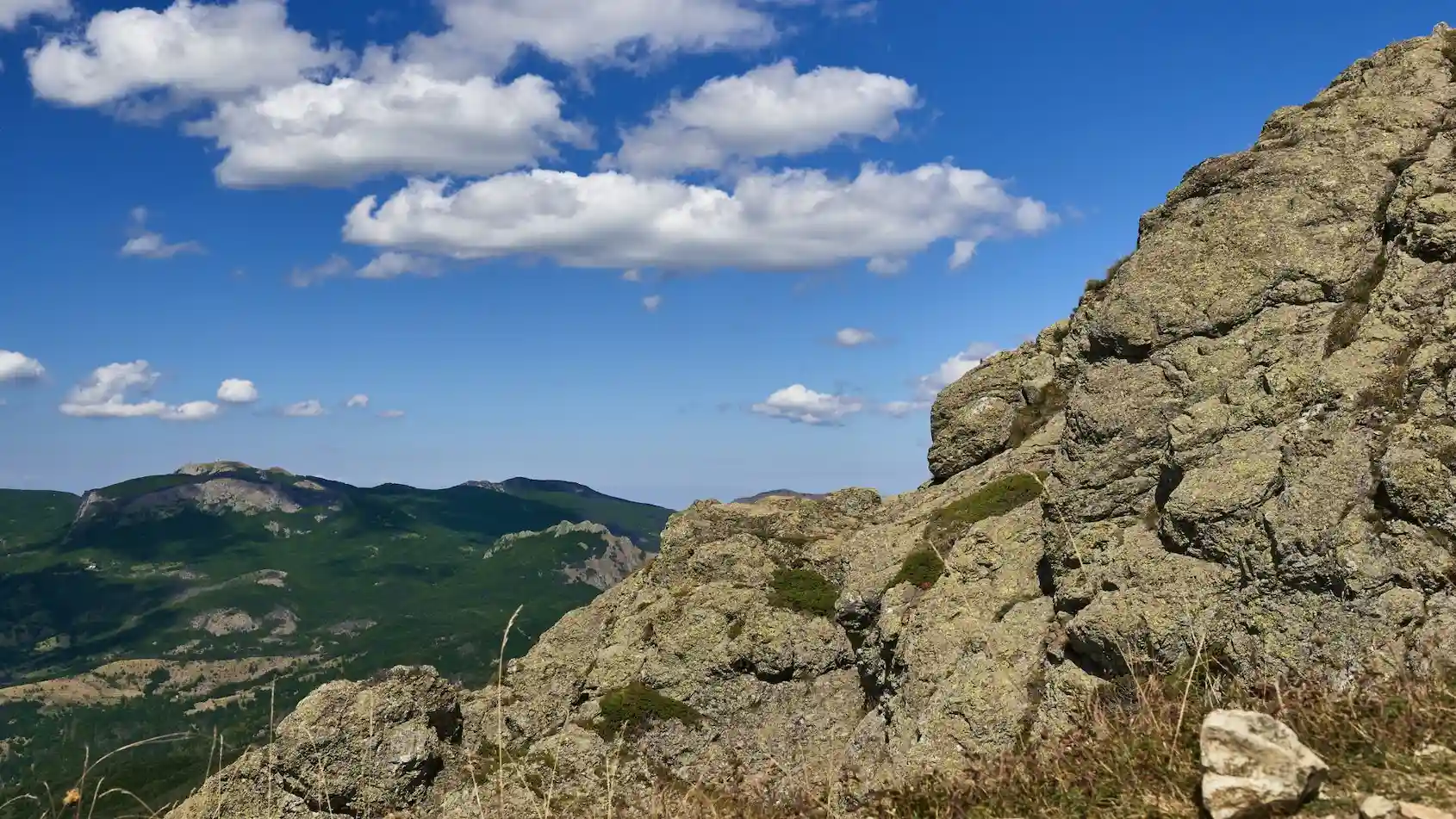
From the mountains to the villages, through panoramic views, woods and olive groves.
Sea, forests, mountains and villages: Western Liguria is beautiful on foot too. We’ve selected a few walks and hikes to suit the weather, the season and how much you feel like walking. From easy strolls to more challenging trails, there’s always a good reason to put on your walking shoes and set off.
🟢 COLLE DI SAN GIACOMO → AQUILA D’ARROSCIA
A hike through the inland countryside, among woods, olive groves and small villages of the Arroscia Valley.
🟢 EASY ⏱ ABOUT 1 HOUR 📏 2.9 KM
📍 Start: Colle di San Giacomo – 739 m
🏠 From Brezza di Sale: approx. 30–35 min by car
⛰️ Highest point: Colle di San Giacomo – 739 m
🥾 Route type: Point-to-point
🏘️ Finish: Aquila d’Arroscia
🗺️ Open the starting point: Google Maps
The route begins at 739 metres above sea level at Colle di San Giacomo, a small mountain pass between the Arroscia Valley and Val Pennavaire. Beside the meadow stands the Chapel of San Giacomo: it is worth stopping for a moment before setting off, as the scenery begins right here.
The route leaves the pass and gradually descends towards Aquila d’Arroscia, crossing an inland landscape that changes step by step: woodland, Mediterranean vegetation, small rural hamlets and, as you approach the village, the olive groves that have shaped these valleys for centuries.
Before descending towards Aquila, you can make a short detour to the ruins of Castello dell’Aquila, reached from the pass with a brief walk. Parts of the tower and the ancient walls still remain, in a position that once allowed control over the surrounding valleys.
Then continue towards Aquila d’Arroscia, a small village surrounded by greenery, where the landscape still reflects the strong connection between this part of Liguria and agriculture, especially olive growing. It is worth reaching the centre and taking a little time to wander among its houses before continuing on your way.
🟠 MONTE BIGNONE LOOP
From Mediterranean scrub to the summit, with Albenga and the sea at your feet
A panoramic hike through the hills behind Albenga, among heather, maritime pines and beautiful views over the coast and Gallinara Island.
🟠 MODERATELY CHALLENGING ⏱ 3–3½ HOURS, AT A RELAXED PACE 📏 6.9 KM ↗ 390 M
📍 Start: Casa Rossa – Strada Vicinale Monte
🚶 From Brezza di Sale: the starting point can be reached on foot
⛰️ Highest point: Monte Bignone – 477 m
🥾 Route type: Loop
🗺️ Open the starting point: Google Maps Coordinates
One of the best things about this route is how close it is to Brezza di Sale: you can set off on foot directly from the apartment and, gradually leaving Albenga behind, reach the hills without needing to take the car.
You only need to move a short distance away from the sea to find yourself surrounded by nature. The route passes through Mediterranean scrub, heather and maritime pines, while the town and the Albenga plain gradually fall away below.
The destination is Monte Bignone, at 477 metres above sea level. It is not a particularly high mountain, but its position so close to the coast offers beautiful views over Albenga, the sea and Gallinara Island, with the inland mountains rising behind.
The route is of moderate difficulty, but includes some steep and rocky sections that require care. Suitable footwear and a basic level of hiking experience are therefore recommended.
🟡 ROCCA LIVERNA FORT LOOP
From Conscente to the old fortifications, through Mediterranean scrub and panoramic views towards Albenga and the sea.
A short but moderately challenging hike through the Albenga hinterland, with a steady climb to Rocca Liverna and a loop return along the Croce di Conscente ridge.
🟡 MODERATE ⏱ 2½–3 HOURS, AT A RELAXED PACE 📏 5.5 KM ↗ 400 M
📍 Start: Conscente – approx. 102 m
🚗 From Brezza di Sale: approx. 15–20 min by car
⛰️ Highest point: Rocca Liverna – approx. 498 m
🥾 Route type: Loop
🗺️ Open the starting point: Google Maps Coordinates
The route starts from the hamlet of Conscente, in the municipality of Cisano sul Neva, and immediately begins to gain elevation on the slopes above the village. The climb passes through Mediterranean scrub and gradually leads towards Rocca Liverna, while views open up behind you over the Albenga plain and towards the sea. The guidebook also describes the route as panoramic and specifically highlights the coastal views along the ascent.
The destination is the remains of the Rocca Liverna fortifications. The structures are not in perfect condition, but they are still one of the most interesting parts of the hike, both for their location and for their historical and engineering value. It is therefore worth allowing a little time to explore the area before starting the descent.
For the return, you can simply retrace the outward route, but the track we analysed follows a more interesting alternative that allows you to complete a true loop. After leaving the fortifications, the route follows a wider dirt track towards the Croce di Conscente, descending along the ridge on a gentler gradient than the ascent. It then turns onto the slope above Conscente and rejoins the original route.
The distance is not particularly long, but the route gains almost 400 metres of elevation in the first 2.5 km or so, so the climb is fairly continuous. You do not necessarily need to be used to long distances, but a basic level of fitness will certainly make the hike more enjoyable.
🟢 VIA JULIA AUGUSTA – ALBENGA → ALASSIO
Between Roman history, the sea and panoramic views of Gallinara Island.
An easy and scenic walk along the ancient Via Julia Augusta, among Roman remains, olive trees and Mediterranean scrub. The route climbs gently above the coast, offering beautiful views over Albenga, Gallinara Island and the Gulf of Alassio, until it reaches the Church of Santa Croce. From here, you can descend towards Alassio and return to Albenga by bus or train.
🟢 EASY ⏱ ABOUT 2–2½ HOURS 📏 ABOUT 5 KM
📍 Start: Albenga – Via San Calocero area
🚶 From Brezza di Sale: the starting point can be reached on foot
🥾 Route type: Point-to-point
⛪ Finish: Santa Croce – Alassio
🚌 Return: possible from Alassio on foot or by bus
For more details about the route, its history and points of interest, see our dedicated guide to the Via Julia Augusta.